
UK weather news: Heavy showers and cool temperatures forecast over weekend
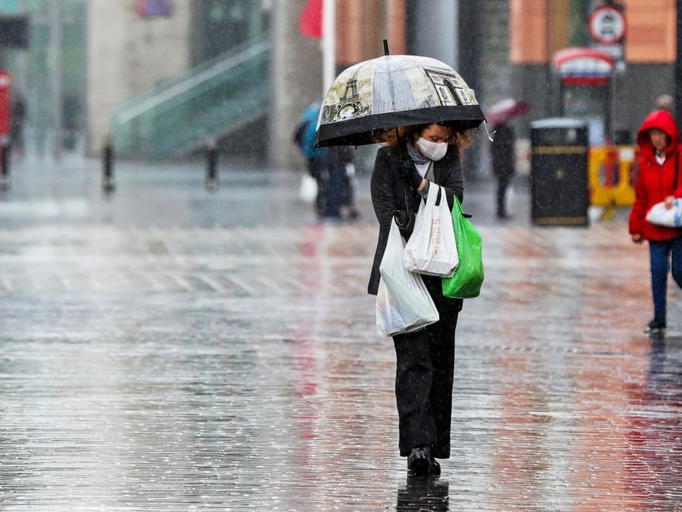
The UK will experience heavy showers, strong winds and cool temperatures over the weekend as an “unseasonably deep” low-pressure system moves down from Scandinavia.
The Met Office’s forecast of wind and rain over the next few days comes in stark contrast to the weather over the last few weekends, which saw temperatures reach the high-20s.
Earlier this week, the prime minister told the public not to move gatherings into people’s homes if it rains, as fears over a second wave of the virus remain high.
John Griffiths, a forecaster at the Met Office, said: "The weekend will begin wet for many, with the heaviest showers over northern and east England by lunchtime.
"London and the south east will also see dark clouds and torrential downpours in the afternoon, while parts Wales will be rainy for most of the day.
"There is a possibility of thunderstorms on the east coast of England by the early afternoon with strong gales hitting the area."
In northern and central England, showers will become less heavy and frequent in the afternoon.
Although Saturday will be a cool and breezy day in most areas, parts of central and southern Scotland will have the pick of the weather and could reach 19C.
Elsewhere, maximum temperatures in Wales and Northern Ireland will be 15C, while they will be 16C in London and the south-east.
Sunday will be a slightly drier and brighter day overall.
However, another rain band will work its way down from the north-east, bringing the wettest weather to south-east England by Sunday afternoon.
It will be brighter in the west, with some scattered showers predicted in the south-west. Most of the country’s rain will stop by the evening.
Additional reporting from PA
