
Expanding heat dome to send temperatures soaring 20 degrees above normal in Northeast

A potentially historic heatwave is set to hit the US northeast next week, with temperatures predicted to soar some 20 degrees higher than normal.
Milder temperatures over Father’s Day weekend are set to give way much hotter weather, as a heat dome makes its way east.
A heat dome is a large area of high pressure that stops over an area, traps air and blasts it with sunshine for days or weeks. The resulting heat becomes more intense the longer a heat dome lasts, according to the National Weather Service (NWS).
The NWS warned that “anomalous heat” would begin on Sunday in much of the Midwest, Central Plains, and Tennessee Valley.
Temperatures will be in the mid-to-high-90 degrees Fahrenheit (F) in many areas and likely at daily records in parts of the Ohio Valley and Northeast. Some areas will feel as hot as 105F, the weather service said.
Temperatures will soar next week from the Midwest to the Northeast, where several dozen record afternoon high and record warm morning lows are set to fall.
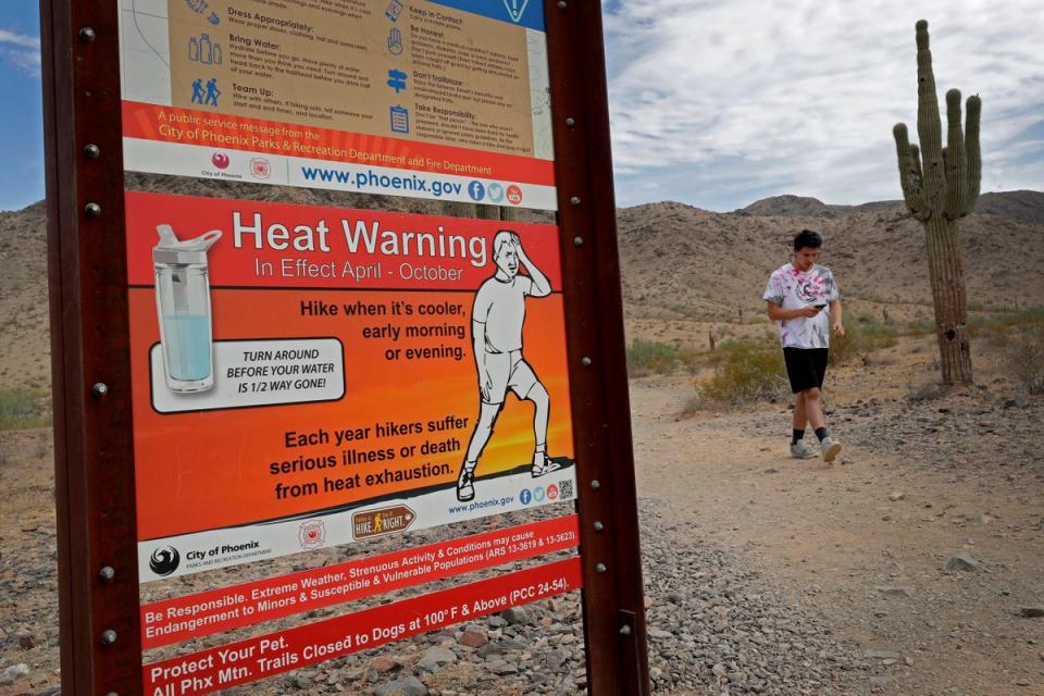
Heat is the leading cause of weather-related deaths most years. Take it seriously.https://t.co/VyWINDk3xP pic.twitter.com/0vd41f47CV— National Weather Service (@NWS) June 14, 2024
The Detroit metro area will experience its worst heat wave in 20 years or more, with temperatures forecasted in the mid-90s and heat indices around 100F starting Monday and potentially lasting into the weekend, NWS meteorologist Steven Freitag said.
The area could see its first 100-degree day since July 2012.
A heatwave is classified as a period of abnormally hot weather generally lasting more than two days. Last year the US experienced the most heatwaves since 1936. In the South and Southwest, last year was the hottest on record, according to the National Oceanic and Atmospheric Administration (NOAA)
Next week’s heat is expected to peak around the official start of summer, on June 20.
Although nighttime temperatures will dip into the 70s, providing some relief, the duration of the heat can have a cumulative and potentially dangerous effect on the body, Freitag told CBS.
Other areas in the east are also forecast to reach the upper 90s and low 100s in the lead up to the solstice include urban hotspots such as Newark, New Jersey, and Richmond, Virginia.
Major urban hotspots include Philadelphia, Pennsylvania, and New York City and are predicted to hit the mid-to-high 90s towards the end of the week.
Weather experts have advised the public to take extra precautions including staying hydrated, avoiding exposed areas for prolonged periods, and checking in on vulnerable people.
The heat shift to the east comes after the west coast was roasted earlier this month with temperatures rising to “dangerous” levels in places including parts of California and Nevada.
Last year, intense heatwaves blistered the US with over 113 million Americans under heat warnings at their peaks, due to the climate crisis.
In July 2023 the mercury hit 110F in Phoenix for 13 days in a row, causing officials to advise residents to limit outdoor activities, and be alert to signs of heat exhaustion and heat stroke.
It was the hottest year on record for the US, with scientists warning that temperatures will continue to rise.

