
Iran-Iraq earthquake: 5.0 magnitude tremor hits border region
An earthquake of magnitude 5.0 struck the Iran-Iraq border region on Wednesday, the GFZ German Research Centre for Geosciences (GFZ) said.
The quake struck at a depth of about 10 km (6.2 miles).
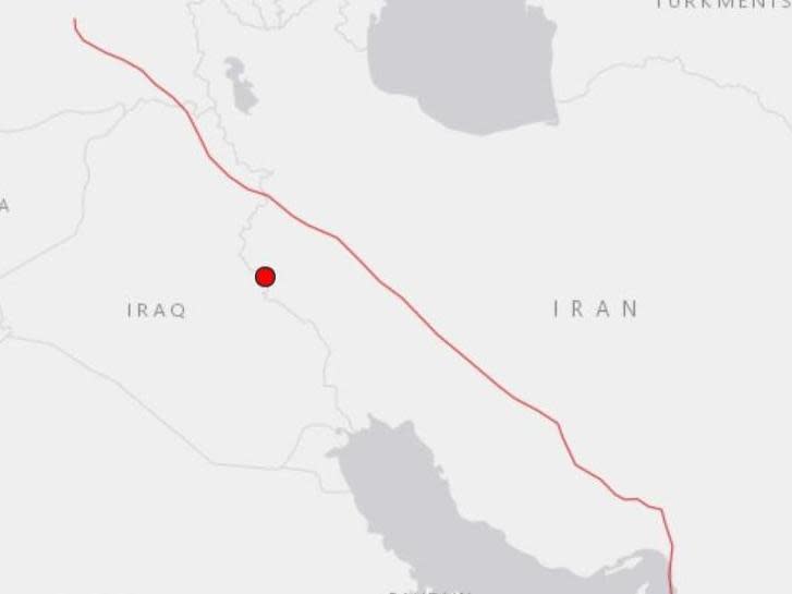
Its epicentre appears to be about 140 km (86 miles) east of Iraqi capital Baghdad, and 52 km (32 miles) west of Īlām, Iran, according to the GFZ.
The quake struck at around 11:39 local time and there are no immediate reports of casualties.
The GFZ initially recorded a magnitude of 6.3 but this was later revised down to 5.0.
More follows…
