
Low water in Yellowknife Bay not increasing arsenic risk says official, researcher
An official with the Giant Mine remediation project and a local researcher aren't worried the low water in Yellowknife Bay is exposing people to more arsenic in areas along the shoreline.
The water's change is particularly salient at Rotary Park, where a boardwalk that once traversed a shallow part of the bay now passes over a large expanse of mud, and house boats can be seen resting in the muck.
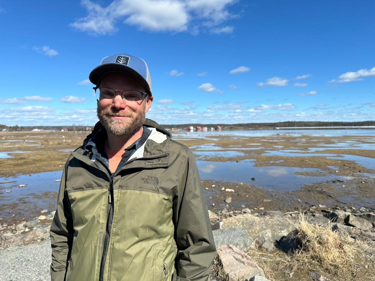
Mike Palmer, a scientist at the Aurora Research Institute, said sediment in deep water areas of the bay contain a lot of arsenic — but samples from shallow water areas where people might wade or swim, like what's exposed now, "tends to be quite a bit lower."
"Those levels are actually close to federal, national guidelines," said Palmer, who has studied arsenic in the sediment of Yellowknife Bay. Palmer said another theme from his research, however, is the closer you get to Giant Mine, the higher the arsenic levels in the mud become.
Roughly three kilometers northwest of Rotary Park, low water levels are also plain at the Giant Mine remediation site.
Because one of the project team's main jobs is to manage groundwater so it doesn't reach huge chambers of highly toxic arsenic trioxide dust underground, a project official said low water is considered a good thing.
"If we have less water to treat, it's faster, quicker, cost[s] less money as well," said Natalie Plato, deputy director of the Giant Mine Remediation Project.
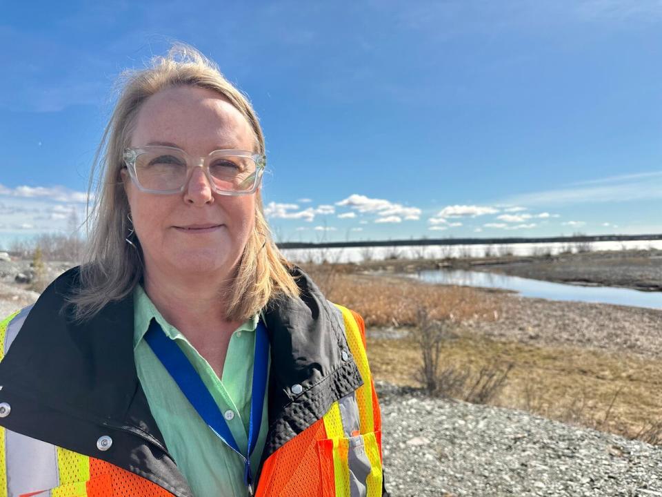
Natalie Plato, the deputy director of the Giant Mine Remediation Project, stands in front of the place where Baker Creek drains into Yellowknife Bay. She said if places like this, where water is used to manage contaminates at former gold mine dry out, they'll start using dust suppression tactics instead. (Liny Lamberink/CBC)
But strategies used to manage some of Giant's contaminated areas involves keeping them wet — so if those spots become exposed to air and dry out, Plato said they would be managed differently.
Baker Creek, which Palmer described as a "substantial source" of arsenic into the bay, is one of them. The creek runs through the remediation site, and it also takes on treated groundwater and spits it out into Great Slave Lake.
At the mouth of the creek is a marshy area, a contaminated spot that Plato said used to be under water. Plato said it's "certainly still saturated and wet" and that means contaminants aren't being churned up into the air and won't get into a person's body through inhalation.
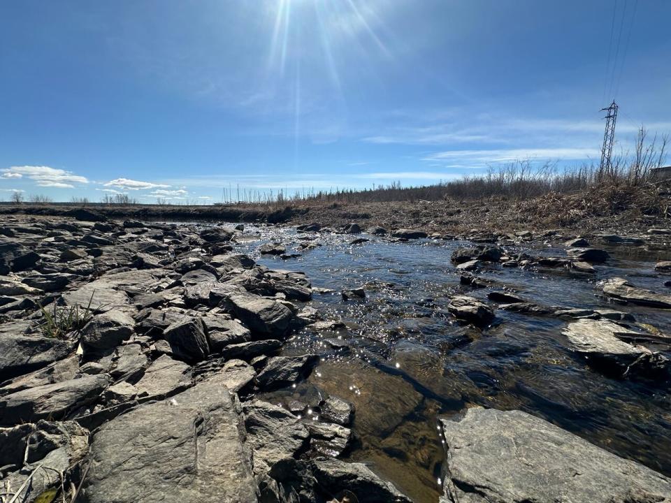
Baker Creek, near where it feeds into Yellowknife Bay, on May 16, 2024. (Liny Lamberink/CBC)
"The risk hasn't changed," said Plato. But there would be risk, she said, if someone were to swim in and drink from the creek, or if the area were to sit without water for a long time and become dusty.
Plato said her team is keeping an eye on saturation at Baker Creek and at a place further along the shore where tailings were dumped decades ago while the mine was still operating. They're referred to as the foreshore tailings.
Because of the low water, Plato said more of those tailings have been exposed.
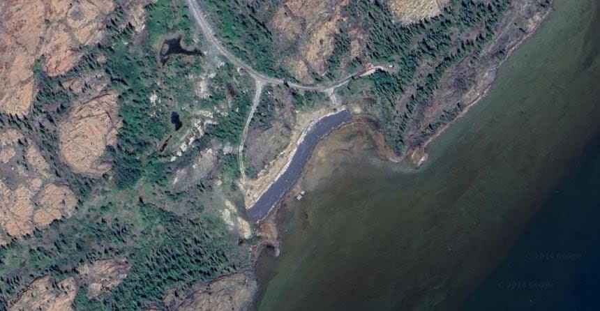
Satellite imagery from Google Earth shows the foreshore tailings in the summer of 2023. Plato said they were covered years ago, but some of the tailings are exposed. The remediation plans to cover them completely, starting in 2028. (Google Earth)
"The mine was permitted to deposit them there because they're very low risk material, they're not like the arsenic trioxide for instance, they're a byproduct of mining that is quite benign," said Plato. "It looks like a beach, actually."
Plato said the project team is monitoring the wetness of the tailings too, and has found they're still saturated. If they dry out, Plato said her team would work with the Department of Fisheries and Oceans and the Mackenzie Valley Land and Water Board and explore spraying them down with water or a dust suppressing material.

