Mapped: California cities seeing torrential downpours, flash floods and mudslides
Millions of people in California are currently under weather alerts as a devastating rainstorm brings flash flooding, toppled trees and landslides to much of the state.
The storm is expected to calm by Wednesday.
However, up to 10 inches of rain has already fallen in some regions, and the Sierra Nevada mountains will likely see similar amounts of snow before tomorrow.
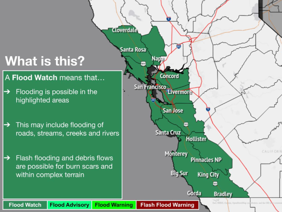
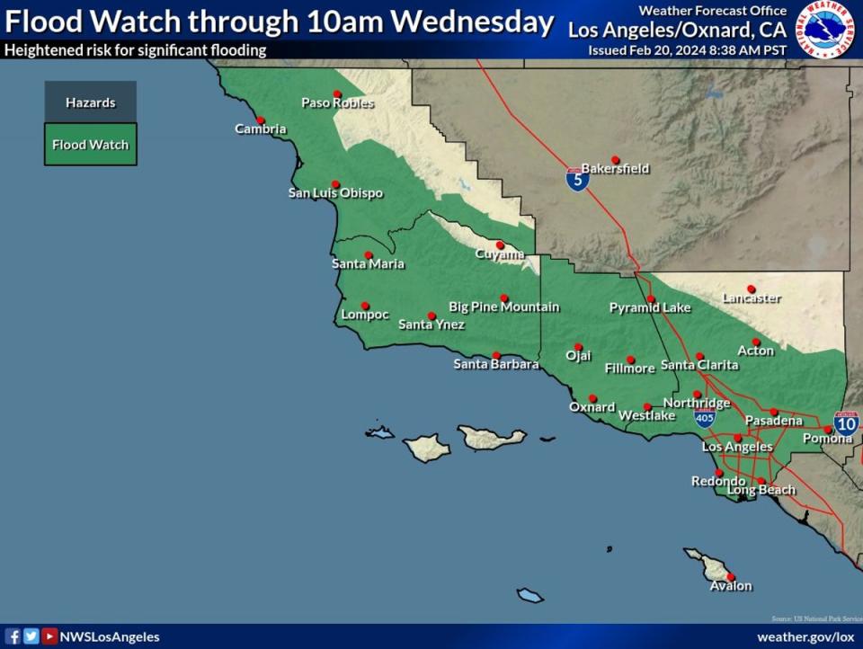
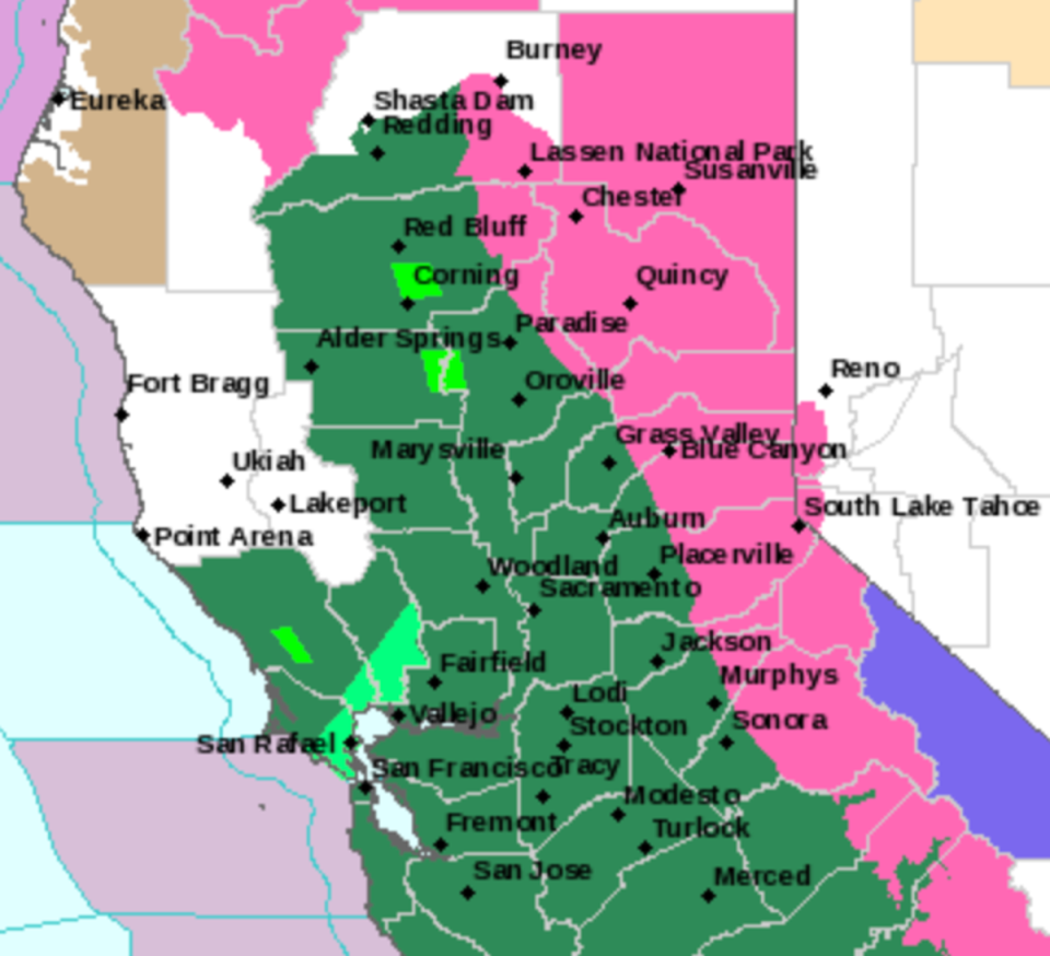
As the storm continues, flood watches remain in effect for almost the entire state, including the Los Angeles, San Francisco, Sacramento and San Diego regions. Officials are warning residents to stay away from flooded roads and to limit travel if possible.
Notably, the entire Bay Area is on a flood watch.

The same warning goes for Los Angeles and much of Southern California, where coastal cities are under both flood and high surf warnings as of Tuesday afternoon.

Los Angeles has already seen several mudslides since this week’s storm began on Sunday.
Some of these hazards are impacting roadways, such as the mudslide that broke a fence on Interstate 5 on Monday. The risk of mudslides during this weather event is high due to a devastating storm earlier this month that left California’s soil over-saturated. That same storm killed at least nine people and triggered 400 landslides in Los Angeles alone.
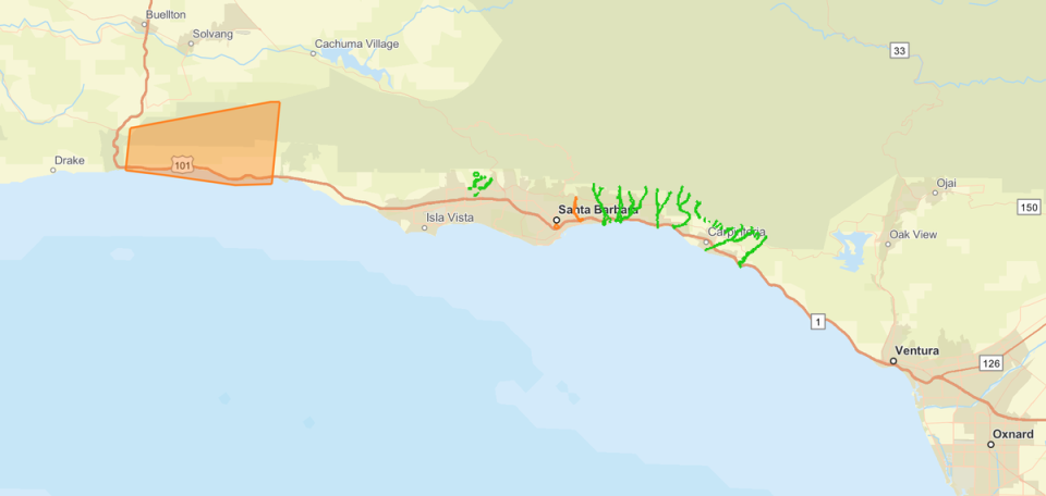
Several Santa Barbara neighbourhoods were also placed under evacuation orders due to flooding on Monday. While officials have cancelled some initial orders, multiple residential areas remain evacuated.

Meanwhile, central California isn’t faring much better. As heavy rain hits the region, snow is also burying parts of the Sierra Nevada mountains. Up to ten inches of snowfall is expected before Wednesday.

This comes after several Central California counties were threatened by possible tornadoes on Monday — however, those warnings have since expired as the storm approaches its final forecasted hours.


