
More than 100 flood warnings in place after UK shivers through snowy and icy morning
More than 100 flood warnings are in place across England after last week's Storm Henk deluge, as large parts of the UK shivered through snowy and icy conditions on Tuesday morning.
The Environment Agency (EA) had 115 flood warnings, meaning flooding is expected, in place as of 1pm on Tuesday.
The majority of flood warnings were in the south of England and the Midlands, particularly through Reading, Slough, Oxford, Salisbury and further north in Cheltenham and Peterborough.
Several vehicles were seen largely submerged after a car park flooded in Wallingford, Oxfordshire, due to heavy rain.
There is also a flood warning along the River Thames southwest of London in Wraysbury in the borough of Windsor and Maidenhead.
Meanwhile there were 125 flood alerts in place throughout England as of 1pm on Tuesday.
National Resources Wales had issued no warnings but two flood alerts were in place, with one in South Pembrokeshire and another in the Lower Dee catchment. There were no alerts or warnings in place in Scotland or Northern Ireland.
Meanwhile, a yellow warning for ice which was in place across southern England and South Wales expired at 3am on Tuesday morning.
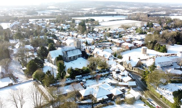
The Met Office had said there would be snow flurries throughout Monday evening affecting parts of England's south into the early hours of Tuesday morning.
Snow has been seen in parts of Kent, London and Scotland on Tuesday.
Read more UK news:
2023 was world's hottest year on record - and 2024 could be worse
Former Post Office boss to hand back her CBE
Four arrested after man is stabbed to death in Twickenham
Met Office meteorologist Tom Morgan said that not much of the snow appeared to have settled, with some areas seeing a "dusting of maybe one centimetre or two of snow".
He said Tuesday would be drier with limited snowfall, apart from some wintry showers in Cornwall.
He added: "We're not expecting much in the way of further snowfall on Tuesday. In actual fact, it will be much sunnier than today, particularly in the south compared to Monday."
Mr Morgan said a blast of cold air coming down from the north, mostly affecting Scotland, was likely to bring more cold conditions over the weekend with some snow showers.
Temperatures dropped as low as -1C in Birmingham, 0C in Glasgow and 1C in London overnight.
Train services warned customers to be careful when using their services due to icy conditions but there were no reports of major disruptions to services.
An amber cold health alert for the North West of England, the Midlands, the South West of England and the South East of England is also in place until noon on Friday.
The amber alert, issued by the UK Health Security Agency (UKHSA), means "cold weather impacts are likely to be felt across the whole health service for an extended period of time".
The cold and wet conditions come after new data confirmed last year was the world's hottest on record - with scientists warning 2024 could be worse.

