
More than a foot of rain expected in South Florida as flood alerts sweep state
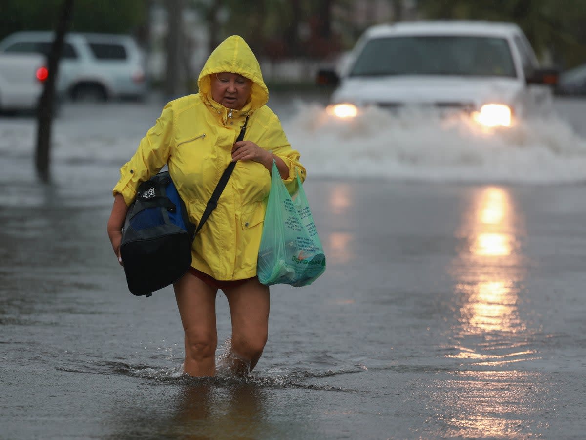
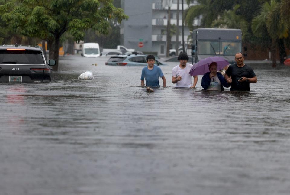
South Florida has been battered by torrential rainfall which has caused rare flash flooding, with some areas seeing over a month of rain in a day.
Destructive downpours were expected to continue falling for a third day on the Sunshine State on Thursday, which has been plagued by a cold front parked over parts of the region since Tuesday.
Roads have been forced to close, vehicles stranded, and passengers have been experiencing numerous delays and cancellations at airports. Some South Floridians have been forced to wade through knee-high waters, shoes in hand, as they attempt to rescue vehicles from floating away in the floodwaters.
Further deluges are expected across parts of the region through Saturday, while next week the rains are expected to move west, bringing with them an increased threat of flash flooding to other parts of the Gulf Coast.
The National Hurricane Center announced a 20 per cent chance of a two-day cyclone forming just offshore of north-east Florida on Thursday morning due to an “elongated area of low pressure.”
The National Weather Service (NWS) in Miami said that parts of Miami-Dade and Broward received up to 15 inches (38cm) of rain on Wednesday alone, as emergency flash flood warnings were issued. Florida Governor Ron DeSantis has declared an emergency for Broward, Collier, Lee, Miami-Dade and Sarasota counties.
On Thursday morning, the NWS shared another gloomy forecast regarding the unrelenting weather, warning that more than 10 inches (25cm) of rainfall is “in the realm of possibility” – eclipsing the June average of 9.5 inches (24cm).
“An additional round of heavy rainfall is forecast across SFL today as a large convective band of showers & thunderstorms develops & move southward for the 3rd day in a row,” it said in a statement on X.
“Even a small duration of heavy rainfall could lead to more flash flooding!” the NWS added.
It has urged workers to not drive or walk through flood waters.
Mayor Dean J Trantalis of Fort Lauderdale doubled down on the message on X, writing: “If possible, please avoid driving. It’s crucial to never attempt to drive through high water.”
Severe flooding led to the closure to parts of southbound Interstate 95 near the Fort Lauderdale-Hollywood International Airport.
Hollywood – a city in Florida’s Broward County – saw more than 10 inches (25cm) of rain on Wednesday, while Fort Lauderdale saw over 22cm and Miami approximately 20cm, according to the NWS.
Hundreds of flights were also either delayed or cancelled at airports in Fort Lauderdale and Miami.
The Tampa Bay area was drenched by eight inches (20cm) of rain in three hours, a rare event expectd once every 500 to 1,000 years.

